
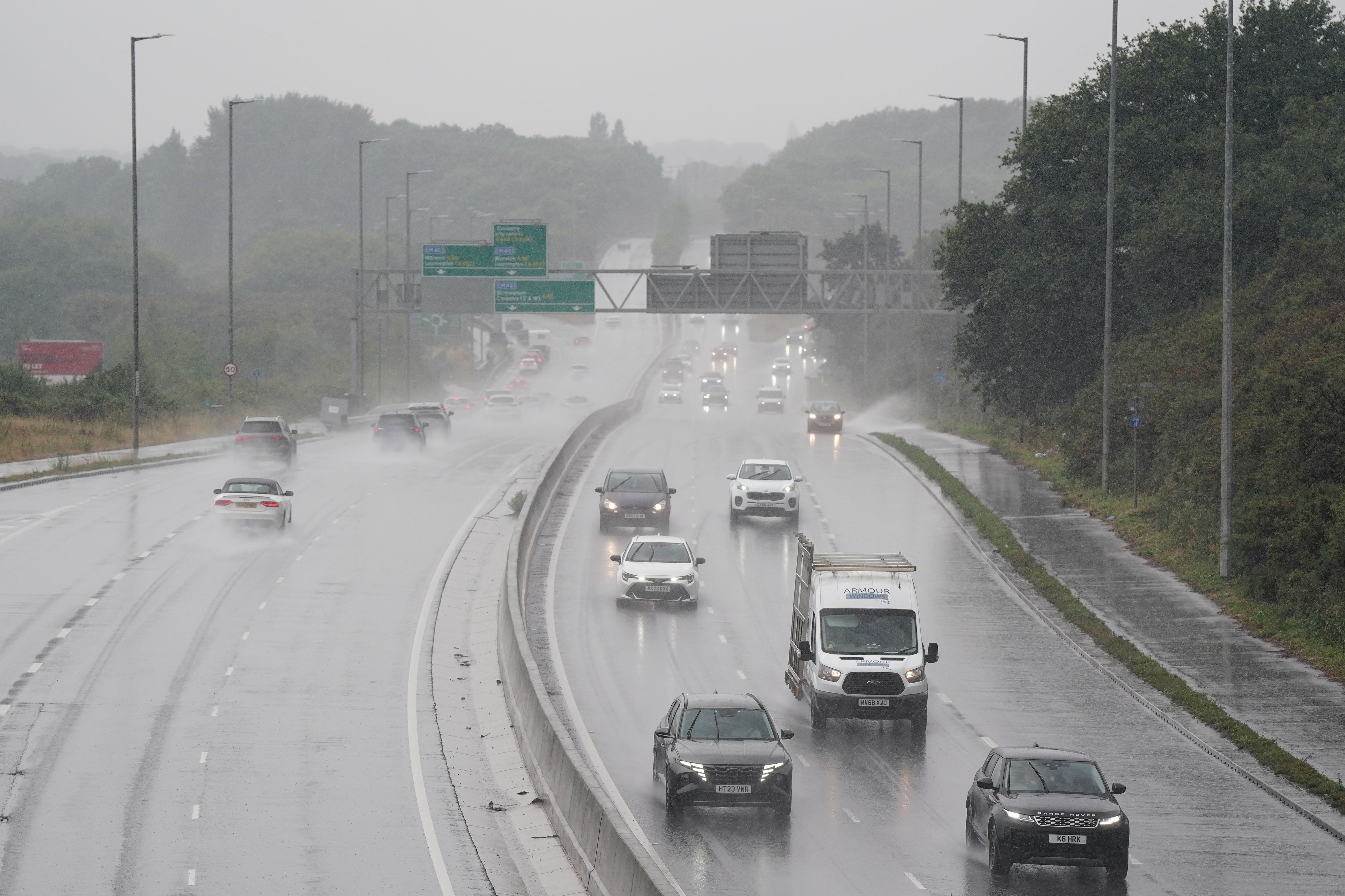
More areas of the UK have been warned to expect heavy rain and thunderstorms into next week as the Met Office issued fresh yellow weather warnings.
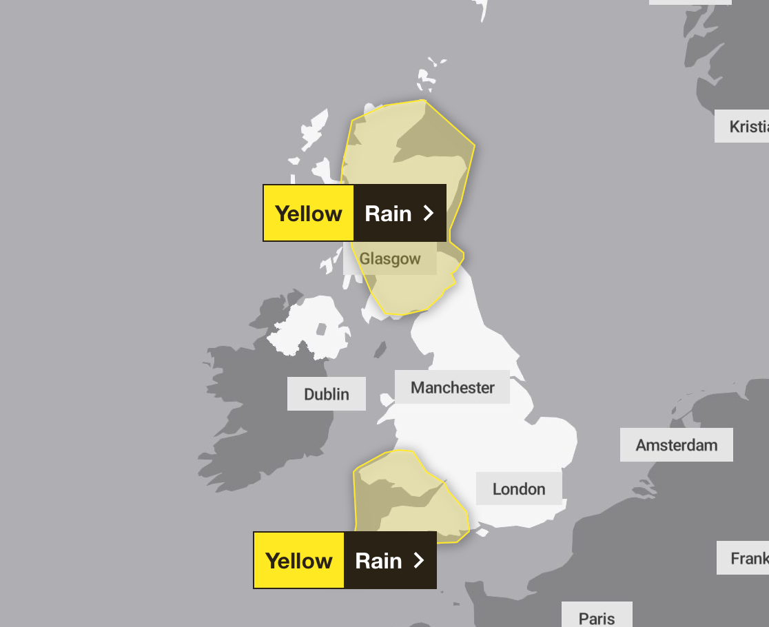
The forecaster issued two yellow rain alerts for Scotland and southwest England on Sunday as a thunderstorm warning was put in place for much of the UK on Monday.
The rain warning covering Scotland expired at noon on Sunday, while the warning for the South West will last until 9pm that day.
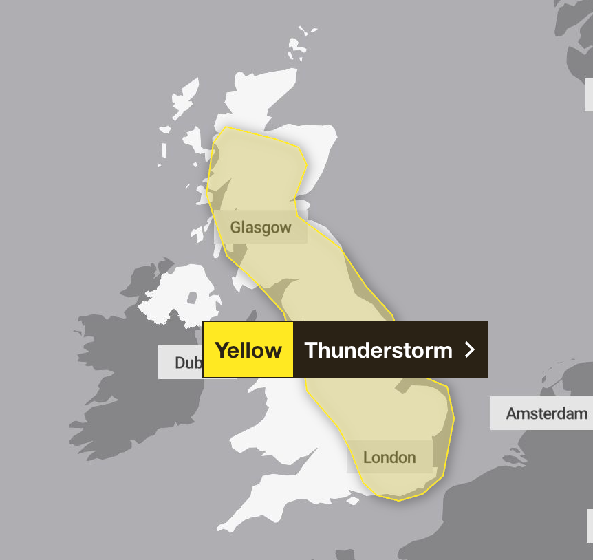
On Monday, the UK is braced for further thunderstorms as the Met Office issued a further yellow warning between 11am and 9pm.
The Met Office said people in these areas should prepare for the slight chance of power cuts and that homes and businesses could be flooded.
These thunderstorms could bring 15 to 20mm of rain within an hour in places, with perhaps as much 30mm in a few hours, according to the Met Office.
Chief meteorologist Andy Page said: “Intense rainfall will impact parts of the UK as thunderstorms move in from France.
“This weekend is expected to be busy on the roads as more schools in England and Wales break up for the summer holidays, so it’s important people keep up to date with the very latest forecast.
“There will be spells of more pleasant weather in parts of the UK through the weekend, with some sunny spells in between systems as they move through.”
Earlier on Saturday, an amber alert came into force for London, parts of the South and southeast England from 4am to 11am. Downpours were seen across the capital in what was the first amber warning issued for London since January 2024.
Here is the full Met Office forecast for the next few days:
Sunday:
Remaining unsettled on Sunday with showers or longer spells of rain, some heavy and thundery in places. Fresher than recent days but still warm, particularly in any sunny spells.
Outlook for Monday to Wednesday:
Low pressure lingers into early next week, keeping conditions unsettled with sunny spells and heavy showers. Showers will gradually ease by Wednesday, with temperatures staying close to the seasonal average.