.jpeg?trim=0,78,0,78&width=1200&height=800&crop=1200:800&w=1200&resize=1200,0&ssl=1 "Spring hasn’t sprung everywhere. There’s late snow forecast to hit the Northeast")
While Thursday marks the first day of spring and a return to warmer temperatures, the Northeast is not getting out of winter so easily.
Wet weather and snow is on the way between Thursday and Friday, forecasters warned.
“Except for northern New England, where it will snow and accumulate down into the valleys, this will be a higher elevation snowfall in central New England, parts of eastern New York and even into portions of northeastern Pennsylvania, northern New Jersey and southwestern Connecticut,” AccuWeather Senior Meteorologist Dave Dombek explained in a statement.

“In these central Appalachians areas, the accumulating snow can dip down to around 1,000 feet or perhaps even a bit lower later Thursday night to Friday morning,” he said.
AccuWeather says that between one and six inches of snow is forecast to fall on the Green Mountains, the White Mountains, the Adirondacks, and the Catskills.
The snow there will end by Friday morning, and rain was expected to fall over New York City and Boston, by Thursday evening and into Friday.
Showers and thunderstorms are forecast to develop over parts of the mid-Atlantic region, as well as the Southeast.
The last of the light snow and rain would occur by Friday evening.
“Regardless, the storm will pull colder air in at ground level, but even much colder air in higher up in the atmosphere on Friday,” Dombek said, “That’s a recipe for fairly widespread wet snow [mixed with rain] showers in the region during Friday midday and afternoon.”
.jpeg)
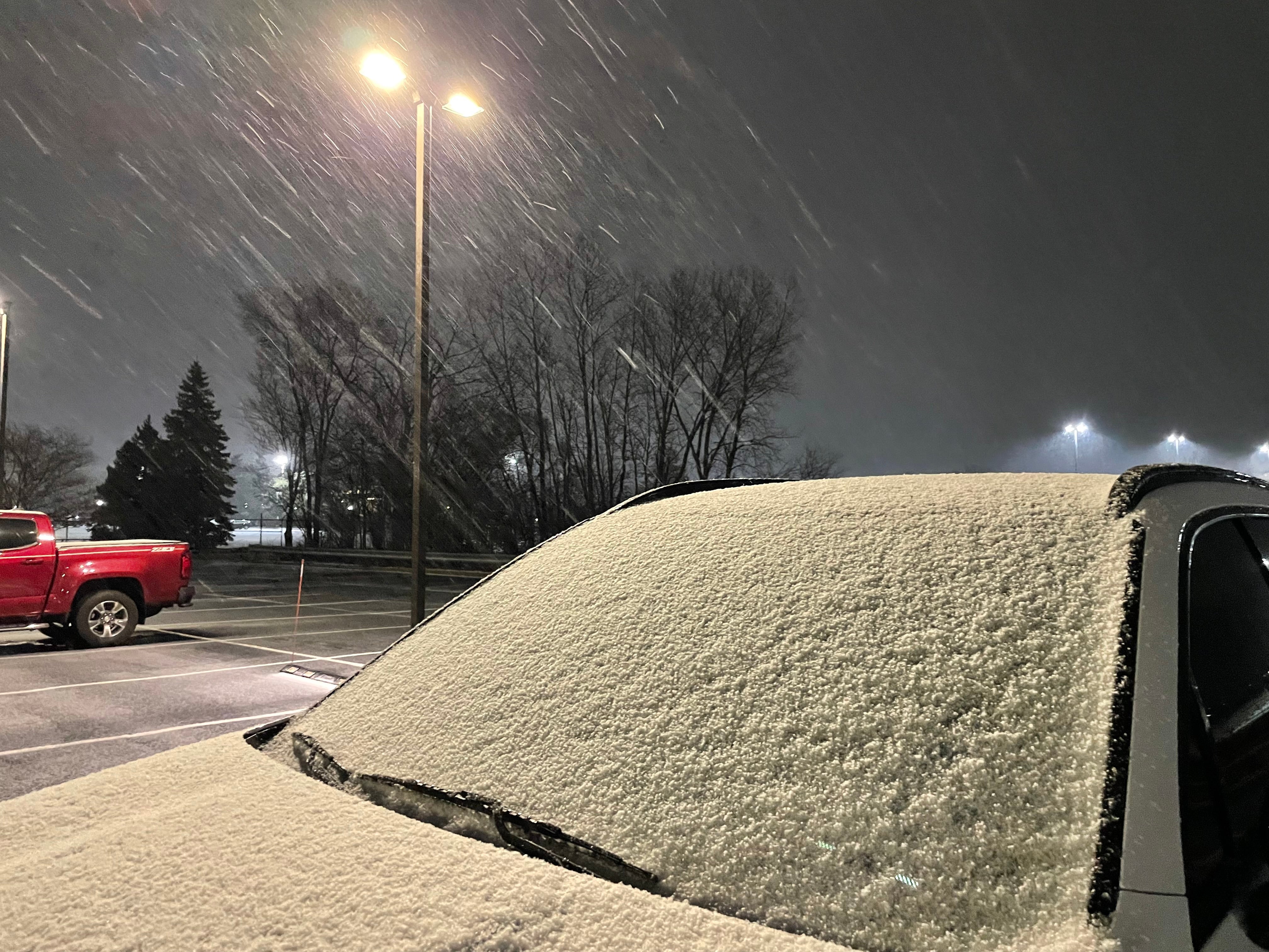
On Thursday morning, “wind-whipped snow” was also falling in the Chicago area, resulting in slick travel conditions. Winds there are reportedly gusting up to 45mph, according to Hoodline.
The snowfall comes following a major blizzard that pounded Nebraska and the central U.S., with advisories stretching from Colorado to Minnesota.
Nearly 50,000 customers remained without power in the Cornhusker State, according to tracker PowerOutage.US. There and in neighboring Kansas, residents had a wild week. In just 24 hours, 80-degree temperatures and fire weather devolved into snowstorms.
“It was 80 degrees yesterday, and less than 24 hours later the snow drifts are taller than the cows. March sucks,” farmer Jaxsen Moss said.