
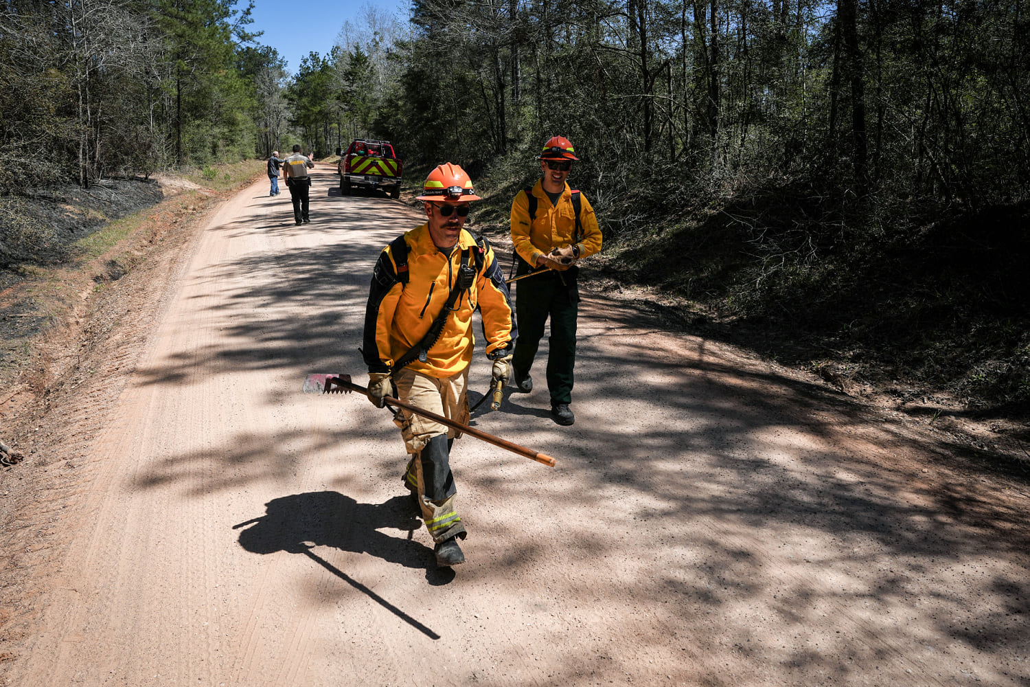
Around 10 million people remain under fire alerts in an area stretching from South Dakota down to Texas and Arizona on Sunday afternoon.
Wind gusts as high as 30-40 mph, combined with warm temperatures, dry vegetation and relative humidity values as low as 5%, are expected to create hazardous conditions for the development of new fires. San Antonio, Texas; Colorado Springs, Colorado; Santa Fe, New Mexico; and Tucson, Arizona, are among the areas at risk.
Sunday afternoon will be relatively breezy across the Plains due to a cold front, with 12 million under wind alerts through the evening. Dallas and Waco, Texas, and Springfield, Missouri, are included in these alerts, as some gusts may exceed 40-50 mph.
Still, temperatures across the Plains as well as the West and Southwest will remain 10 to 25 degrees above average Sunday afternoon. Highs will reach the 80s and 100s, with a few temperature records possibly being broken in Dallas, Amarillo and Lubbock, Texas, and Tucson, Arizona.
As a cold front sweeps through the Plains, temperatures will drop closer to average at the start of the workweek across the heart of the country. Afternoon temperatures will still stay 10 to 20 degrees above average across the West, Southwest and Southeast. Potential records could be reported Sunday in San Antonio and Houston, Texas, and Asheville, North Carolina.
The cold front will bring a chance of scattered showers to the Upper Midwest and Great Lakes on Sunday afternoon through the evening. A transition to snow is anticipated for parts of northern Minnesota and the Upper Peninsula of Michigan. On Monday, 1 to 3 inches of snow, with local amounts exceeding 6 inches, will be possible.
No severe weather or flooding is expected Sunday, but as the front progresses east Monday, there is a slight risk of severe weather across the Ohio Valley. Around 9 million people are under risk of damaging wind, quarter-sized hail and a tornado or two. The risk area includes Columbus and Cincinnati, Ohio; Pittsburgh; and Lexington, Kentucky, where storms may develop late afternoon Monday into the evening.
Spring showers are also affecting parts of the Northern Tier Sunday afternoon, with snow over Montana and rain stretching from the Dakotas to Wisconsin.